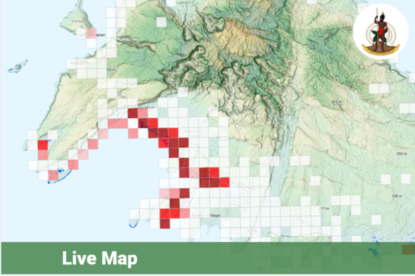
Decision Support System for Enhanced Disaster Risk Reduction
Vanuatu, one of the partner countries of the CommonSensing, is exposed to various natural hazards and the disaster risk is further aggravated through the negative effect of climate change. The Decision Support System will provide contextual analyses of a variety of hazards, risk, vulnerability, and coping capacity data based on INFORM sub-national methodology to improve situational awareness. The users will be taken through a storyline describing where is the risk? why there is a risk? and what can be done to reduce the risk?


Descriptive Analytics
The descriptive analytics presents the INFORM risk index at the sub-national level, where users can easily recognise the relative risks of different administrative units.
LAUNCH TOOL
Diagnostic Analytics
The diagnostic analytics breaks down the INFORM risk index into exposure to hazard, vulnerability, and lack of coping capacity indexes for selected sub-national levels.
LAUNCH TOOL
MCDA
The Multiple Criteria Decision Analysis tool allows decision-makers to find an optimal disaster risk reduction measure based on multiple factors.
LAUNCH TOOL
Data Quality Assessment
The Data Quality Assessment shows OSM map coverage by comparing the number of OSM object counts (number/km2) to the local population density (population/km2).
LAUNCH TOOL